Bypassing the Horizon: How Space-Based Laser Networks Are Rewriting the Rules of Satellite Intelligence
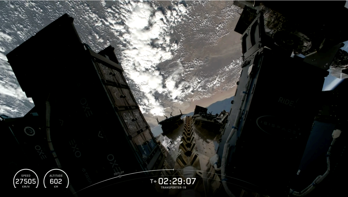
In March, SpaceX Falcon 9 carried our newest satellite, Acadia-10, into low Earth orbit (LEO), the first commercial Synthetic Aperture Radar (SAR) satellite to fly with an Optical Communications Terminal (OCT).
SAR is a way of imaging Earth that doesn't depend on sunlight or clear skies. Because the satellite emits its own radar signal and maps how it bounces back, SAR sees through clouds, smoke, and total darkness. It can image a city at 3 a.m. during a storm with the same fidelity it has at high noon.
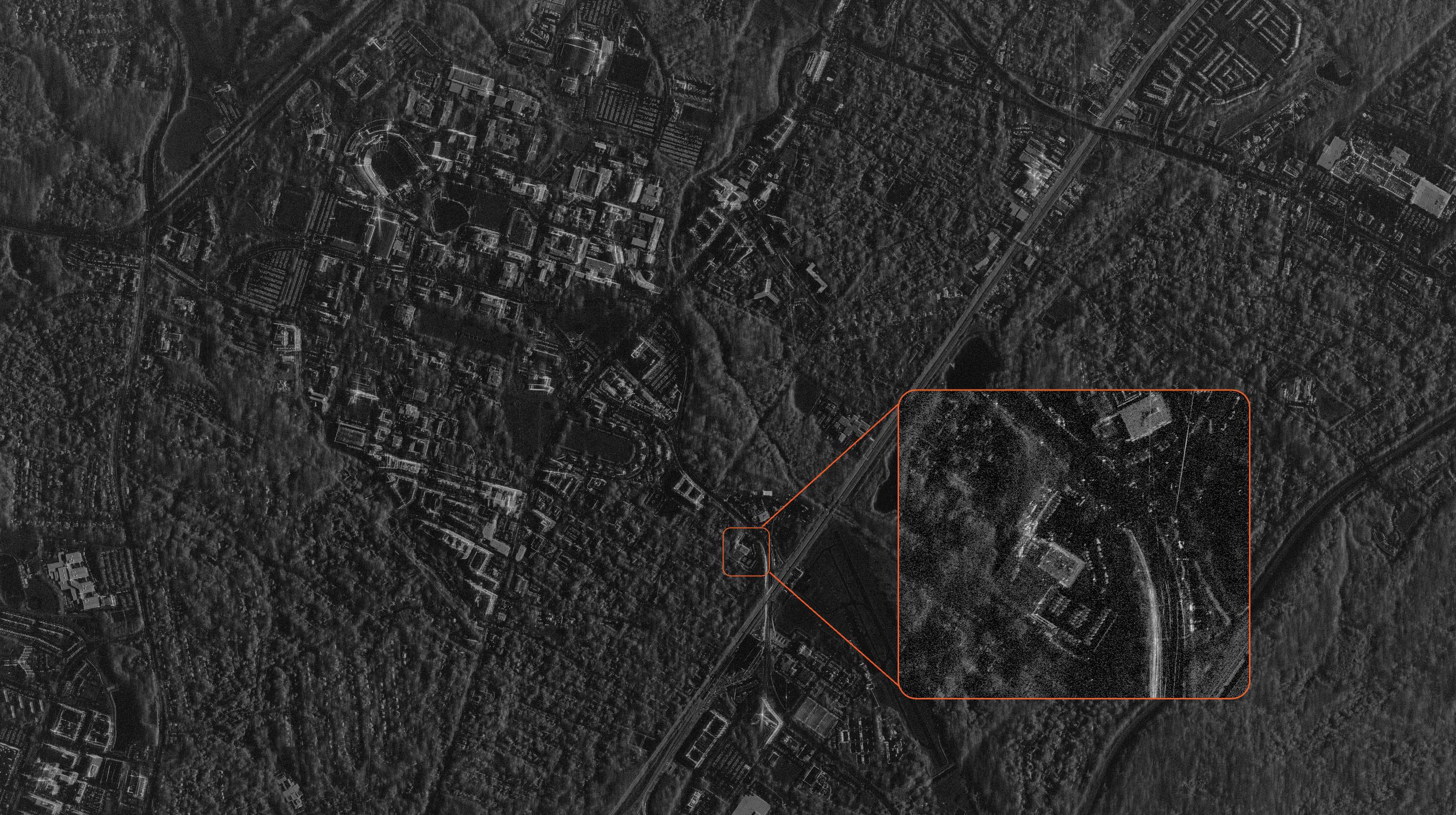
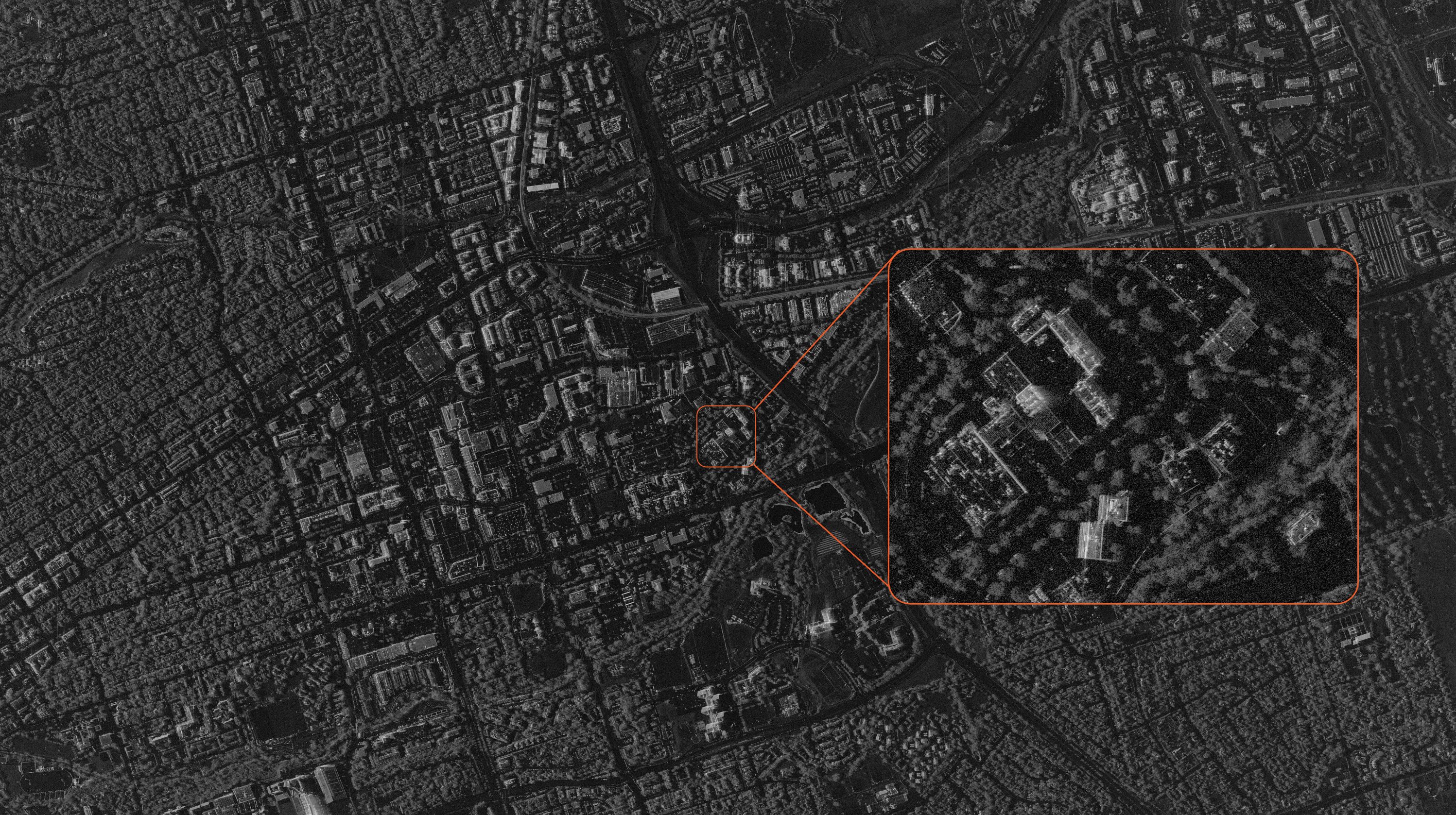
That fidelity is what our constellation is known for: sub-0.25-meter resolution from LEO, and millimeter-level precision when measuring ground deformation via InSAR.
Taking On the Data Bottleneck: Why the OCT Matters
Flying 600 kilometers above the Earth, roughly 60x higher than a passenger airplane, today’s advanced radar sensors manage to easily identify individual objects on Earth.
But getting that data to the ground has always been a challenge. The commercial market has hit an operational bottleneck—an invisible, costly geographic constraint where vital satellite imagery sits on space hardware for hours, waiting for a clear line of sight to a terrestrial ground station.
For customers, this operational lag creates vulnerabilities. Traditional task-to-delivery cycles can span 3–8 or more hours. While standard industry constellations attempt to claim technical leadership by trimming mere minutes off these delivery windows, they miss a structural reality: in high-stakes environments, a multi-hour delay prevents actionable, high-value intelligence from making operational impact.
By deploying an onboard OCT and beginning on-orbit validation activities, Acadia-10 introduces a new way to downlink data. Rather than relying exclusively on traditional radio frequency (RF) downlinks, the architecture is designed to augment existing communications with space-based optical links.
The Structural Flaws of Radio Frequency Networks
True operational bottlenecks start with geography. A satellite in LEO travels at a velocity of approximately 7.5 kilometers per second. Consequently, it remains within view of any specific ground station for a brief window of only 8–12 minutes per orbital pass.
If a satellite captures high-value target data over Southeast Asia, it may need to circle the globe for 20–60 minutes before its trajectory brings it into physical line of sight with a ground station. During this period, imagery sits at rest onboard.
Traditional systems fix this by spending millions to build out dense, global radio networks to maximize ground contact frequency. Our constellation today operates a high-performing terrestrial X-band radio network that does exactly that. Yet, there are still constraints. A conventional radio frequency network faces a ceiling dictated by physics.
What that means: As future sensor performance continues to increase, traditional RF architectures may become an increasingly significant constraint. For instance, our Spotlight Ultra mode can require a 28–52-second dwell time to generate ultra-high-resolution imagery, with some spotlight collects producing more than 5 GB of raw SAR data per second before onboard processing and compression.
The Optical Solution: Routing Data at the Speed of Light
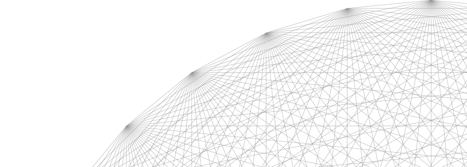
An OCT addresses the downlink bottleneck by swapping radio signals for free-space laser links. Optical inter-satellite links operate above the atmosphere between satellites in LEO. This means data can be routed to transport layer satellites that are above a ground station, not affected by weather. Their terminals support data rates from 100 megabits per second to tens of gigabits per second, and in the near future, hundreds of gigabits per second.
Acadia-10 is completing operational check out and planning to conduct operational tests at 2.5 gigabits per second—demonstrating throughput approximately double that of legacy radio downlinks during testing. As testing progresses, the architecture is intended to allow data to be handed off to enable Acadia-10 to hand off high-resolution data shortly after collection. This approach has the potential to bypass the multi-hour ground station wait. The long-term objective is to reduce task-to-delivery timelines from hours toward minutes as optical relay infrastructure matures.
A Commitment to SDA/NDSA Compatibility
Our development approach has been informed by the optical communications standards emerging within SDA's National Defense Space Architecture.
The NDSA is a proliferated low-Earth orbit network intended to transmit data to and from operational defense forces using standardized Optical Inter-Satellite Links (OISLs). As commercial providers seek greater interoperability with government architectures, vendors must meet the technical protocols required.
SAR satellites are highly complex hosts; their radar payloads demand massive amounts of electrical power and generate heavy thermal loads. To solve this, our team will leverage the substantial mass and power budget of the Acadia-10 bus. With a mass exceeding 175 kilograms and supported by 700 watts of solar array power, the platform enables the integration of an OCT.
Real-World Operational Impact
In high-stakes industries, compressing latency timelines completely redefines operational capability across use cases:
- Rapid Disaster Response: During the critical 24–72-hour window following a global disaster like an earthquake or flash flood, radar is essential because it cuts through weather and darkness. Reducing delivery timelines toward sub-hour performance could help provide responders with faster situational awareness.
- Confirmatory Analysis: Defense and intelligence operators are constantly tracking targets like departing convoys or aircraft. When intelligence takes 7 hours to deliver, the situation has often changed. Sub-hour delivery ensures that commanders are armed with actionable intelligence.
- Precise Tip-and-Cue Analysis: Wide-area radar captures anomalies to direct secondary data detectors, like drones or optical satellites. If a radar alert takes 4 hours to arrive, a maritime vessel traveling at 15 knots creates a massive 100-nautical-mile search radius, making successful interception less accurate.
- Reliable Maritime Domain Enforcement: Tracking "dark vessels" that turn off their location transponders requires correlating radar tracks against commercial paths. Sub-hour optical delivery could enable operators to access intelligence while ships remain within a tight, known tracking radius.
What Comes Next
Acadia-10 is now in operational service. To learn more visit IonQ’s space solutions.

